a

Nulla consequat massa quis enim. Donec pede justo, fringilla vel aliquet nec eget arcu. In enim justo, rhoncus vitae.

Info:

Drone Services

CME provides professional drone survey and aerial data capture services for transportation and public infrastructure projects throughout the Bay Area. Utilizing advanced UAV platforms equipped with high-precision LiDAR and photogrammetric sensors, CME delivers survey-grade geospatial data that supports every phase of project delivery — from planning and design through construction monitoring and as-built documentation.

Our drone services team combines FAA-certified remote pilot operations with experienced land survey professionals, ensuring that every flight mission produces data that meets the accuracy standards required by Caltrans, local agencies, and the engineering design community. By integrating drone technology into our existing project management and construction management services, CME offers clients a seamless, single-source solution for field data collection and analysis.

LiDAR MAPPING & TOPOGRAPHIC SURVEYS

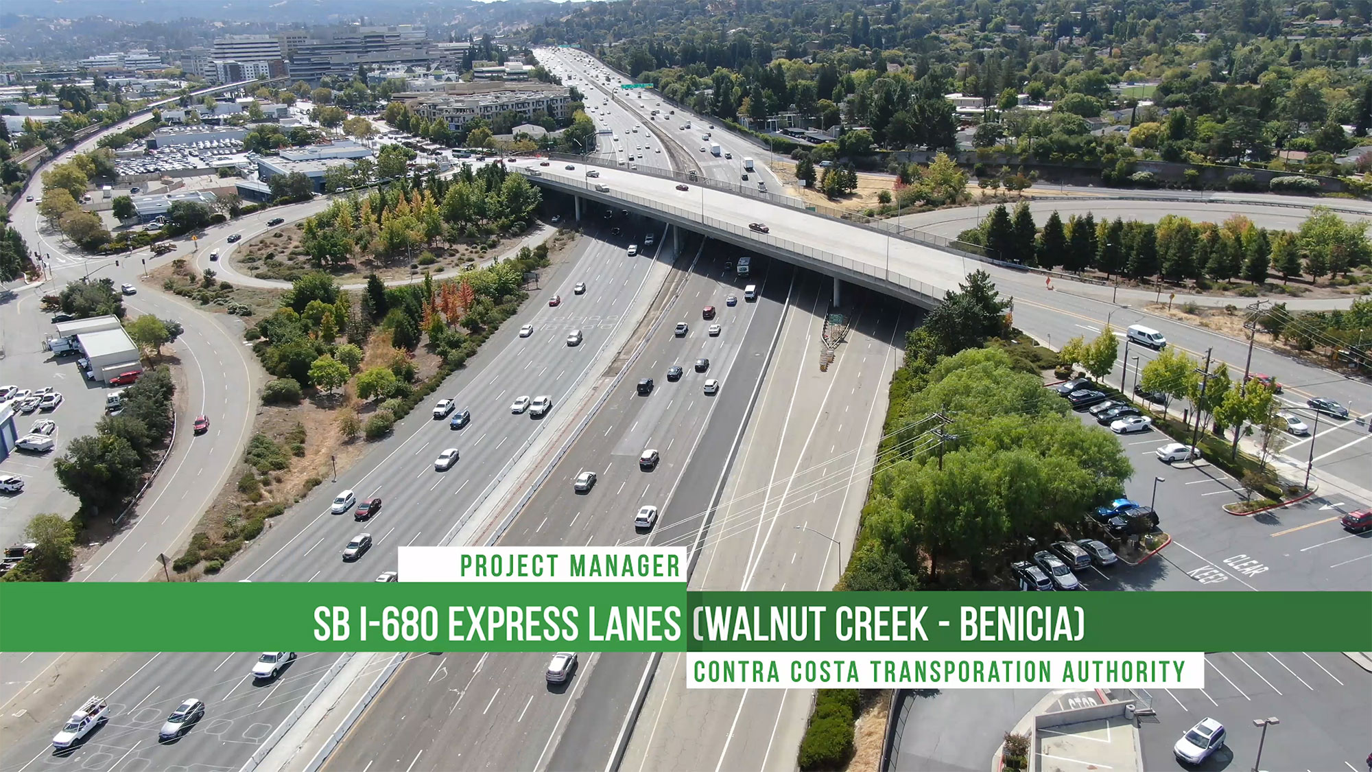
CME operates advanced LiDAR-equipped drone platforms that capture dense, high-accuracy 3D point cloud data for topographic mapping, corridor surveys, and terrain modeling. Our LiDAR systems deliver centimeter-level accuracy with ground penetration capabilities that traditional photogrammetry cannot match — making them ideal for vegetated areas, complex terrain, and linear transportation corridors.

Deliverables include classified point clouds, digital terrain models (DTMs), digital surface models (DSMs), contour maps, and CAD-ready surface files compatible with AutoCAD Civil 3D and other industry-standard design platforms. All data is processed through professional survey workflows and can be tied to project control networks and published datums for seamless integration with design and construction teams.

CONSTRUCTION PROGRESS MONITORING

CME uses recurring drone flights to document construction progress across active project sites, providing agency clients and construction managers with up-to-date aerial imagery and volumetric data at regular intervals. These flights produce orthomosaic maps, 3D site models, and progress comparison overlays that reveal changes between survey epochs — making it easy to verify earthwork quantities, track grading progress, and confirm contractor performance.

Our construction monitoring workflows integrate with the Propeller Aero platform, giving project teams browser-based access to interactive 3D site models where they can measure distances, calculate cut/fill volumes, and compare design surfaces against actual field conditions — all without returning to the field.

AERIAL PHOTOGRAPHY & VIDEOGRAPHY

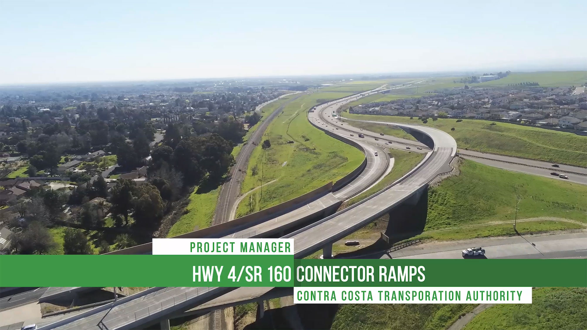
Beyond survey-grade data collection, CME provides high-resolution aerial photography and videography services for project documentation, public outreach, and agency communications. Drone-captured imagery is used to create project milestone documentation, time-lapse construction sequences, stakeholder presentation materials, and public-facing project update content.

These services integrate directly with CME’s Creative/Media division, allowing us to produce polished visual deliverables that combine aerial perspectives with ground-level documentation, graphics, and narrative content — all managed under a single contract.

DJI Matrice 400 enterprise drone in flight equipped with Zenmuse L3 LiDAR payload for aerial surveying

EQUIPMENT & CAPABILITIES

CME operates FAA Part 107 certified drone platforms purpose-built for professional survey and inspection applications. Our fleet includes advanced multi-rotor aircraft equipped with integrated RTK/PPK positioning and high-performance LiDAR and camera payloads, delivering survey-grade accuracy without the need for extensive ground control point networks.

All flight operations are conducted by FAA-certified remote pilots with construction site safety training, and mission planning incorporates airspace authorization, site safety assessments, and coordination with on-site construction activities. CME maintains all required FAA certifications, insurance coverage, and equipment calibration records to meet the compliance requirements of public agency clients.


VIEW Drone Services PROJECTS